Aerospace Engineering, Web Applications & Consulting
for the Defence & Space Industry
Hi, I am
Nico Trebbin
Companies I worked for and with


details about me
10+ Years of Experience in Aerospace Engineering
Exploring the intersection of technology and creativity is where my passion lies. Each project I undertake is not just a task but a journey into the unknown, where I can innovate and push boundaries. My approach to software and system engineering is rooted in a deep understanding of both the technical and human aspects of technology. I believe that great design is not only about aesthetics but also about functionality and user experience. Whether it's consulting on a complex system or designing a user-friendly interface, my goal is to create solutions that are both effective and inspiring. Join me as we delve into the fascinating world of technology and its endless possibilities.
> Things are only impossible until they are not <
Services
How I make a difference
Testimonials
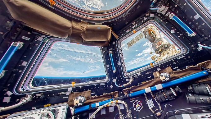
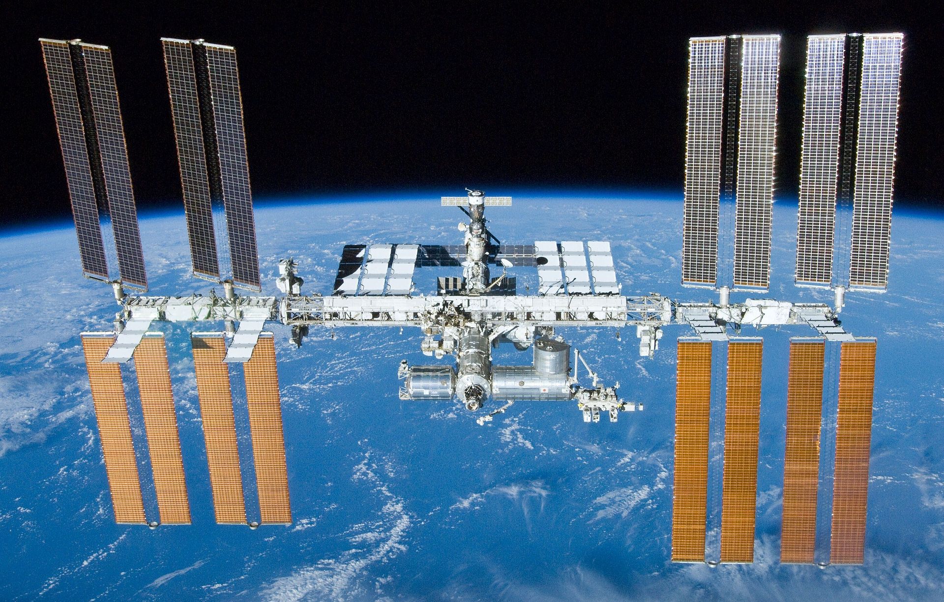
Space missions
I supported so far
I actively supported the following European Human Spaceflight missions as either Monitoring & Control Subsystem Engineer or as Senior Systems Engineer since 2014 ...


latest blogposts